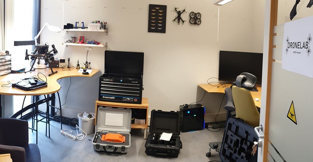
It is focusing on combination of open hardware design and open-source software for flight planning, drone operations and data processing. Both custom-made drone platforms and commercial off-the-shelf drones are available together with a wide range of sensors to address various problems and applications.
SINTEF Drone Laboratory gathers equipment for developing drone platforms. It comprises tools and spare parts for building and maintaining custom-made platforms as well as commercial off-the-shelf drones. Various sensors allowing high resolution mapping of surface and subsurface features are also operating on drone platforms. High resolution positioning systems (RTK-GPS) are also part of the drone packages. Powerful server capacity is also available for flight simulations and data processing.
Equipment
- Commercial off-the-shelf drones
- DJI Matrice 300 RTK
- DJI Mini 2
- Custom made drones
- GeoDrones prototype 1 RTK: quacopter, 1 kg payload
- GeoDrones prototype 2 RTK: octocopter, 5 kg payload
- Drone mission planning tools:
- Q ground control and mission planner
- UgCS
- Drone mounted sensors
- RGB cameras
- Multispectral camera: Micasense RedEdge MX Dual
- Ground penetrating radar: Radsys Zond Aero 1GHz shielded antenna
- Ground penetrating radar: Radsys Aero LF with 50-400 MHz dipole antennas
- Magnetometer: Sensys Magdrone R3
- Terrain following capabilities:
- Radar altimeter: Nanoradar NRD 24 GHz
- LiDAR altimeter: Lightware SF30/D
- Obstacle detection sensor: Nanoradar MR72 77 GHz
- Onboard PCs for integration and logging of data: SPH Engineering Skyhub v3
- True terrain following software: UgCS and UgCS custom payload monitor
- Positioning systems
- RTK GPS: Emlid reach RS2+ base station and Emlid Reach M2 rovers
- Field work:
- Rugged field PC and tablet
- Various field work equipment for harsh weather
- Building tools and spare parts
- Data processing and simulation server
- Python workflow for automated photogrammetry processing
- Python and R workflow for GPR data processing and interpretation
SINTEF is a certified drone operator in Norway and follows Luftfartstilsynet and EASA regulations. SINTEF operates following the SINTEF UAS operations manual for open category and is applying for specific category permit for flights BVLOS.
The SINTEF Industry drone lab is designed to be versatile and that the drone equipment and sensors to be used for multiple applications, including geohazards, geosciences, infrastructure inspection, land cover, land management, mining exploration, agriculture, search and rescue.
Example of drone and sensor equipment:
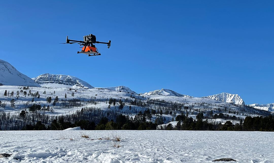
DJI Matrice 300 RTK with Radsys Zond Aero 1GHz GPR
DJI Matrice 300 RTK with Radsys Aero LF 150 MHz GPR
Drone prototype 1
Drone prototype 1 RGB camera sensor for photogrammetry
Drone prototype 2
Drone technology toolbox and example of possible applications


