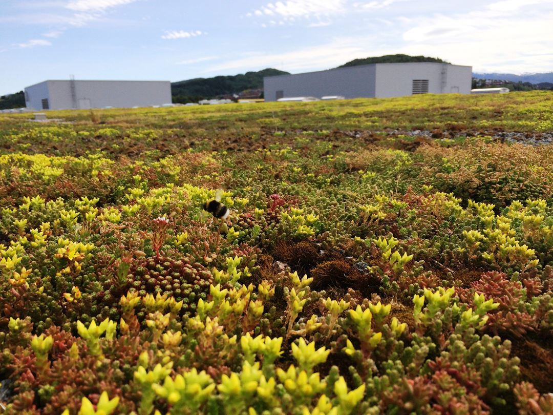
Today, it rains 20 percent more in Norway than it did 100 years ago, and according to climate research, extreme precipitation will be a great challenge in the years ahead. One way to reduce and delay the runoff is to use blue-green infrastructure, such as rain gardens, green swales and permeable pavements. These solutions are also called Sustainable Urban Drainage Systems (SUDS).
Klima 2050 together with the Drenssten project have developed a tool based on GIS (Geographical Information System) that indicates the best location for blue-green infrastructure. The NTNU Gløshaugen Campus, where NTNU is to be co-located, is used as a case study.
Good understanding of the flow paths
- The tool gives a good understanding of where the water is and where it runs, available area and altitude differences in the terrain. With all this acknowledged we can find the best location for the blue-green infrastructure, says senior researcher in SINTEF, Edvard Sivertsen. He leads Klima 2050's work on stormwater management.
The GIS data for Norway are of good quality, they provide an overview of where buildings and roads are located, and altitude differences in the terrain. When the data is analysed with the new tool, as it is done with Gløshaugen, one can detect the flood paths and where the water accumulates. Sivertsen shows how the flood paths are marked in red on the map.
Measuring the infiltration capacity in the soil
- GIS is a desktop tool, and cannot say anything about the actual local infiltration capacity which depends on the qualities of the soil, clarifies Sivertsen.
Therefore, the second part of the tool consists of taking measurements that show how fast the soil absorbs the water, in the areas that GIS in part one identified as most promising. In collaboration with associate professor Tone Muthanna at NTNU and her students, 20 areas in Gløshaugen have been measured.
Must be applied at an early stage
The tool should be utilised early in the project. Then roads, buildings, car parks etc. can be located where they do not interfere with the water's natural paths or destroy the sites suitable for blue-green infrastructure.
Statsbygg, which is a partner in Klima 2050 and will lead the work on the co-location of NTNU at Gløshaugen, agrees.
- The tool is very useful. Not the least at NTNU Campus at Gløshaugen where 92,000 square meters of new buildings will be constructed, and 45,000 square meters will be upgraded, on a limited area. As the tool is applied at an early stage, we know where the water paths are and where to locate the blue-green infrastructure at an early stage, says Jonas Vevatne, senior engineer in Statsbygg.
Prevents problem with stormwater
He believes it is important to remember that densification, which is highlighted as a good environmental measure, also comes at a cost. It leads to more dense surfaces and more stormwater that needs to be handled.
- It is important that this type of analysis is done early in the project in parallel with the zoning and planning. Unfortunately, this does not happen automatically in real life. But for a construction company, it is beneficial to take these considerations to prevent problems with stormwater later, says Vevatne.
Text by Lisbet Gjære


