
Automatic landslide detection with satellites and deep-learning
Developing a deep-learning model to automatically detect landslides from satellite images – supporting faster disaster response and safer land-use planning in a changing climate
Developing a deep-learning model to automatically detect landslides from satellite images – supporting faster disaster response and safer land-use planning in a changing climate
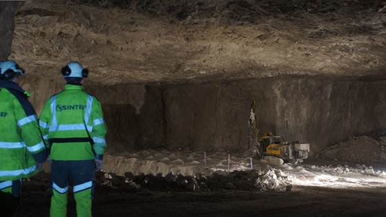
EO mining platform
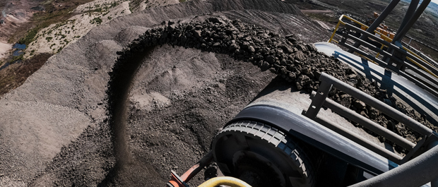
Digital and innovative mine of the future
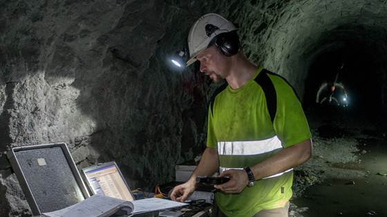
Norwegian in-situ Rock Stress for Sustainable Development of Hydroelectric Power
Geophysical mapping and monitoring of natural hazards using multi-purpose UAVs.
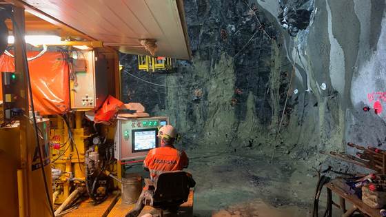
Logic Grouting is based on a new adapted grouting strategy for pre-grouting of rock mass in tunnelling, developed from research in the TIGHT project.
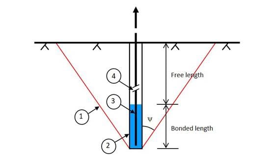
Rock anchoring for stabilization of infrastructures with focus on the arching effect and rock-grout bond

ProMoTun aims to develop a data driven application for collecting and analysing productivity data from tunnel construction.
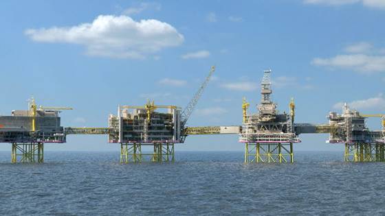
The primary objective of the project is to develop a novel cost-efficient method for tophole/non-invasive monitoring of permanently plugged wells that are cut below surface/seafloor.
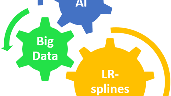
The focus of ANALYST is the combination of LR B-spline methods and AI addressing big data sets with a mathematical structure.