Specific objectives are to
- Develop and test a model of access to health care which combines individual level determinants with measures of geographical access and perceptions of access among vulnerable groups.
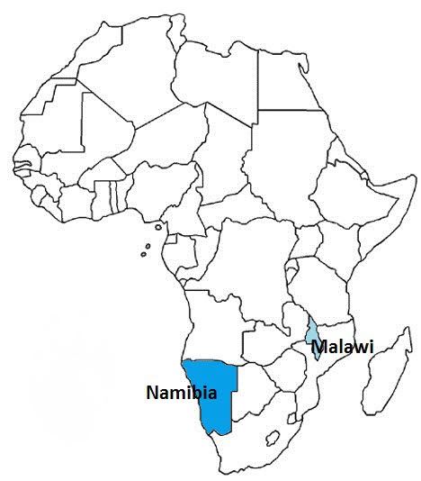
- Map health care facilities, infrastructure, and modes of transport in selected areas in Malawi and Namibia, and develop measures of geographical access.
- Explore causal mechanisms behind divergence of perceived access and geographical access.
- Transfer evidence gained in the study to relevant stakeholders and the international research community through multiple dissemination methods and channels.
The proposed project is a follow-up of an international research project on equitable access to health services in southern Africa, Equitable. To improve access to health care for those who need it the most, more knowledge is needed on barriers to access in resource poor contexts. Access to health services is determined by an interaction of individual vulnerability and geographical accessibility. To understand this interaction, information on physical surroundings, such as topography and availability of facilities, must be combined with people's own evaluation of access, as well as health status and socioeconomic background. The results from our analysis will be used to ensure that policies are targeted at the most central barriers in specific areas, for specific groups. If the most vulnerable parts of the population have access to health service, less marginalized groups should also have decent access. The main research question is: How do individual level vulnerability and geographical characteristics affect access to health services in resource poor settings?
Secondary questions are:
- What is the relationship between perceived access to health care and measured accessibility?
- How can divergence between measured accessibility and perceived access be explained?
To answer these questions, we use survey data from Malawi and Namibia, combined with data on geographical access. Focus group discussions with users and providers will be used to identify potential causes of divergence. While the importance of geographical access is often recognized in the literature, it is rarely taken explicitly into account. A geographical information systems approach (GIS) to health care evaluation and planning has proved useful in high-income countries, but so far, few studies exist from resource-poor settings with poor provision of health care, and few GIS studies on access combine geographical access with information on how the access is actually perceived by (potential) users.

