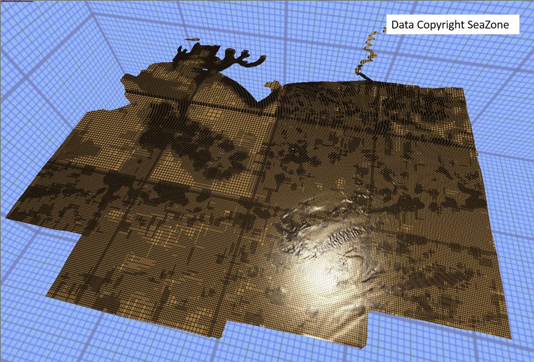
New and emerging data acquisition techniques provide fast and efficient means for multi-dimensional spatial data collection. Such raw data is generally big, and includes point clouds and digital images, often enriched with other sensor and thematic data. IQmulus providing a platform to process massive amounts of geospatial big data and serving useful knowledge in a form of processing algorithms developed by the project. The platform is scalable in processing and storage capacity, and capable of handling the four Big Data aspects of variety, volume, velocity and analytics.


